Description
🖼️ Tool Name:
Augurisk
🔖 Tool Category:
AI-powered risk assessment & geospatial analytics platform; it falls under the categories of Analytics & Dashboards and Integrations & APIs.
✏️ What does this tool offer?
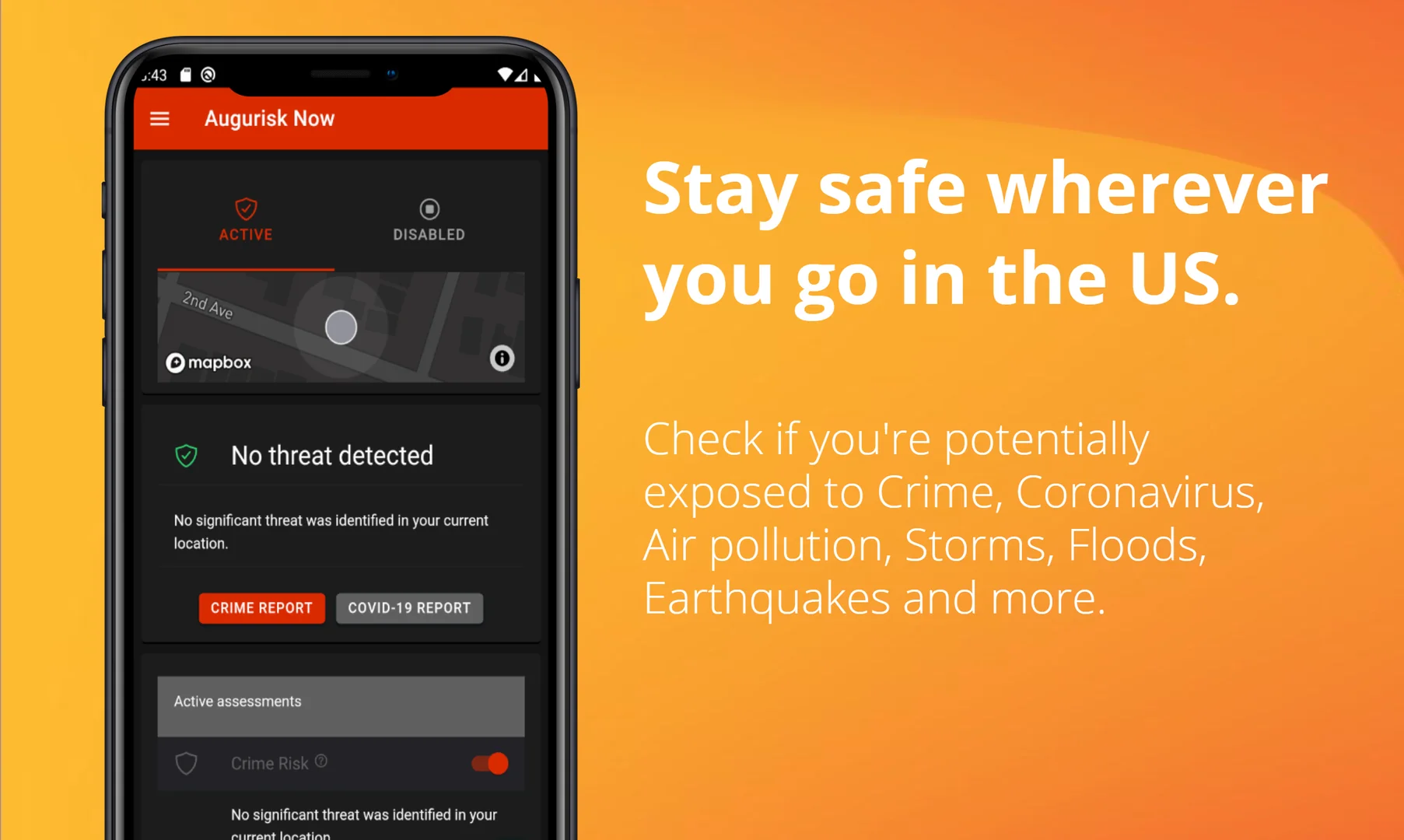
Augurisk provides comprehensive risk evaluations for locations in the U.S.—covering natural disasters (storms, floods, wildfires, earthquakes, volcanoes), societal risks (crime, socioeconomic factors, health infrastructure) and other hazards.
It allows users to generate instant reports for specific addresses, neighbourhoods or property portfolios and offers API integrations for enterprise clients.
⭐ What does the tool actually deliver based on user experience?
• Instant risk reports for a given property or location, indicating risk levels (Very Low → Very High) for multiple hazard types.
• Proprietary crime-prediction algorithm (uses 200+ predictive factors, claims accuracy up to ~79%) for granular neighbourhood risk assessment.
• API & data integration: generates risk reports, CSV/PDF exports, geoJSON layers for map visualisations, portfolio-wide risk dashboards.
• Real-time or near-real-time updates and alerts when risk scores change for monitored locations.
🤖 Does it include automation?
Yes — Augurisk automates the ingestion of data sources (climate, crime, socio-economic), the generation of risk scores using ML models, and the generation of reports or alerts for users/clients. For example, users can set up alerts when risk scores change for saved locations.
💰 Pricing Model:
Subscription / Enterprise pricing model. For standard users there are free audits (single property lookup) and for enterprise there are un-metered subscriptions.
🆓 Free Plan Details:
• Free instant report (“free audit”) available for an individual property to assess risk.
💳 Paid Plan Details:
• Paid/enterprise plan provides unlimited user access, generation of many reports, portfolio view of up to hundreds of locations, API access, white-label reports, geoJSON layers for mapping, advanced datasets.
🧭 Access Method:
• Web-based platform: users sign up, enter an address or area and receive a detailed risk report.
• Enterprise/API: REST API available for programmatic access to risk scoring and map layers.
🔗 Experience Link:
